


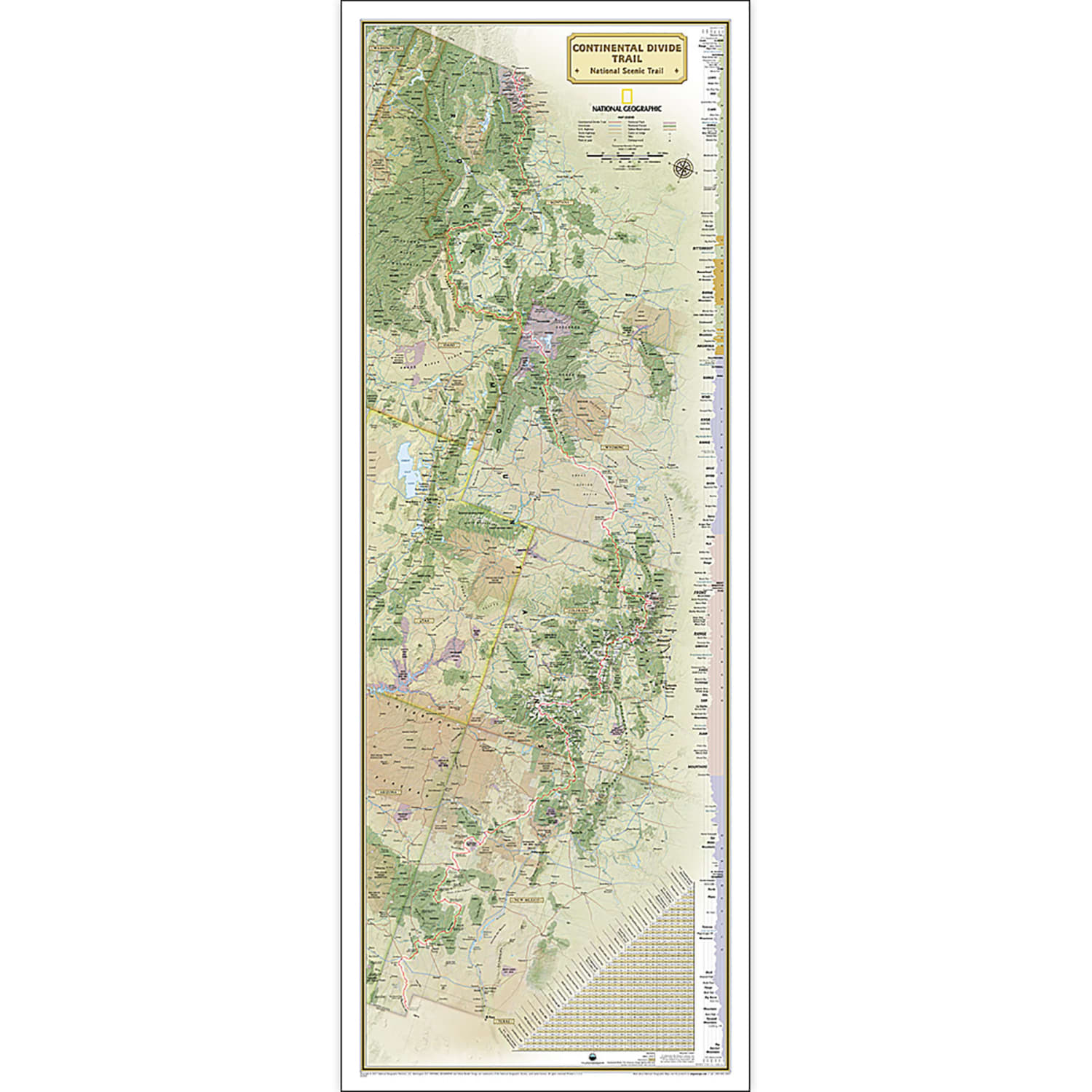
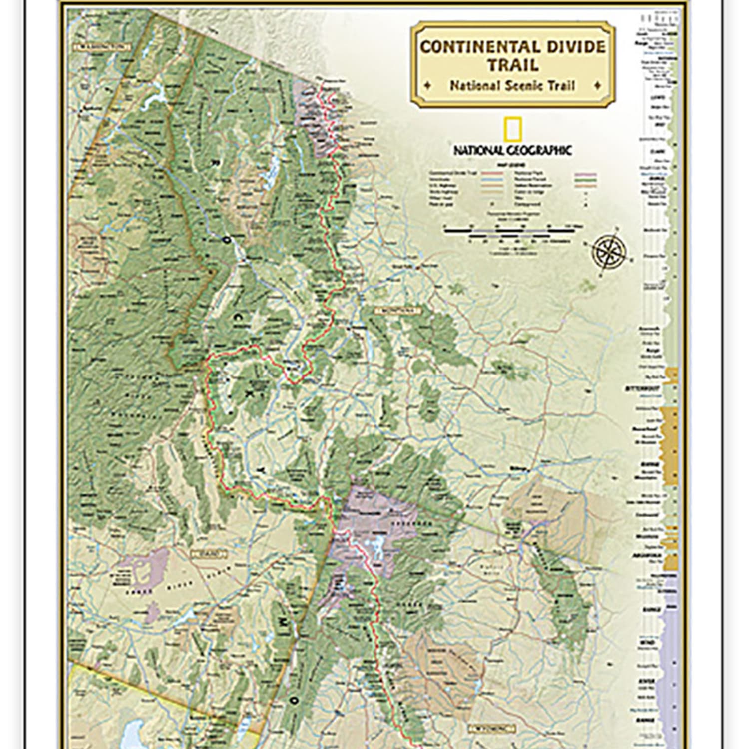

National Geographic Continental Divide Trail Map, Laminated, 18in x 48in
Original price was: $42.65.$37.09Current price is: $37.09.
Buy More and Save with Volume Discount:
| Quantity | 2 + | 5 + | 10 + |
|---|---|---|---|
| Price | $37.05 | $37.02 | $36.98 |
5 in stock
- Orders placed by 2pm ship within 24–48 hours.
- Free shipping on orders $65 and over.
- Typical transit time: 2–3 business days.
Expertly researched and designed, National Geographics map of the Continental Divide Trail is ideal for fans and hikers of this magnificent National Scenic Trail. It makes a great planning tool or as reference to track progress on the 3,100 plus mile length.
- This beautiful map shows the entire length of the trail from Mexico to Canada through New Mexico, Colorado, Wyoming, Idaho, and Montana.
- A unique elevation profile highlights the trails peaks and valleys, and an informative mileage chart shows the distance between key locations.
- Also highlighted on this map are passes, peaks, national forests, national parks, state parks, and Indian reservations.
- Additional points of interest include lodges and campgrounds near the trail.The map is encapsulated in heavy-duty 1.6 mil laminate which makes the paper much more durable and resistant to the swelling and shrinking caused by changes in humidity.
- Laminated maps can be framed without the need for glass, so the frames can be much lighter and less expensive.
- Measures 18in x 48in.
| Weight | 0.19 lbs |
|---|---|
| Dimensions | 25 × 2 × 2 in |
Related products
Classroom Teaching Resources
Classroom Teaching Resources
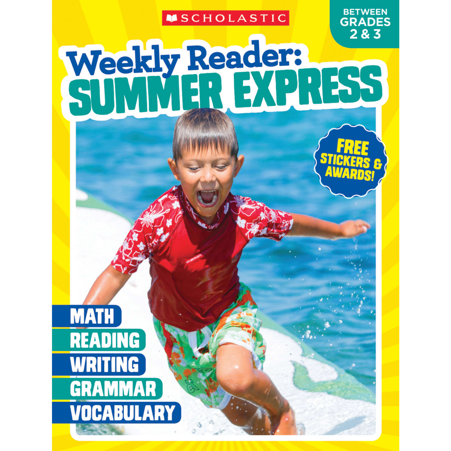
Scholastic Teacher Resources Weekly Reader Workbook: Summer Express, Grades 2 3

Classroom Teaching Resources
Scholastic Week-by-Week Homework For Building Reading Comprehension & Fluency – Grades 2-3
Classroom Teaching Resources
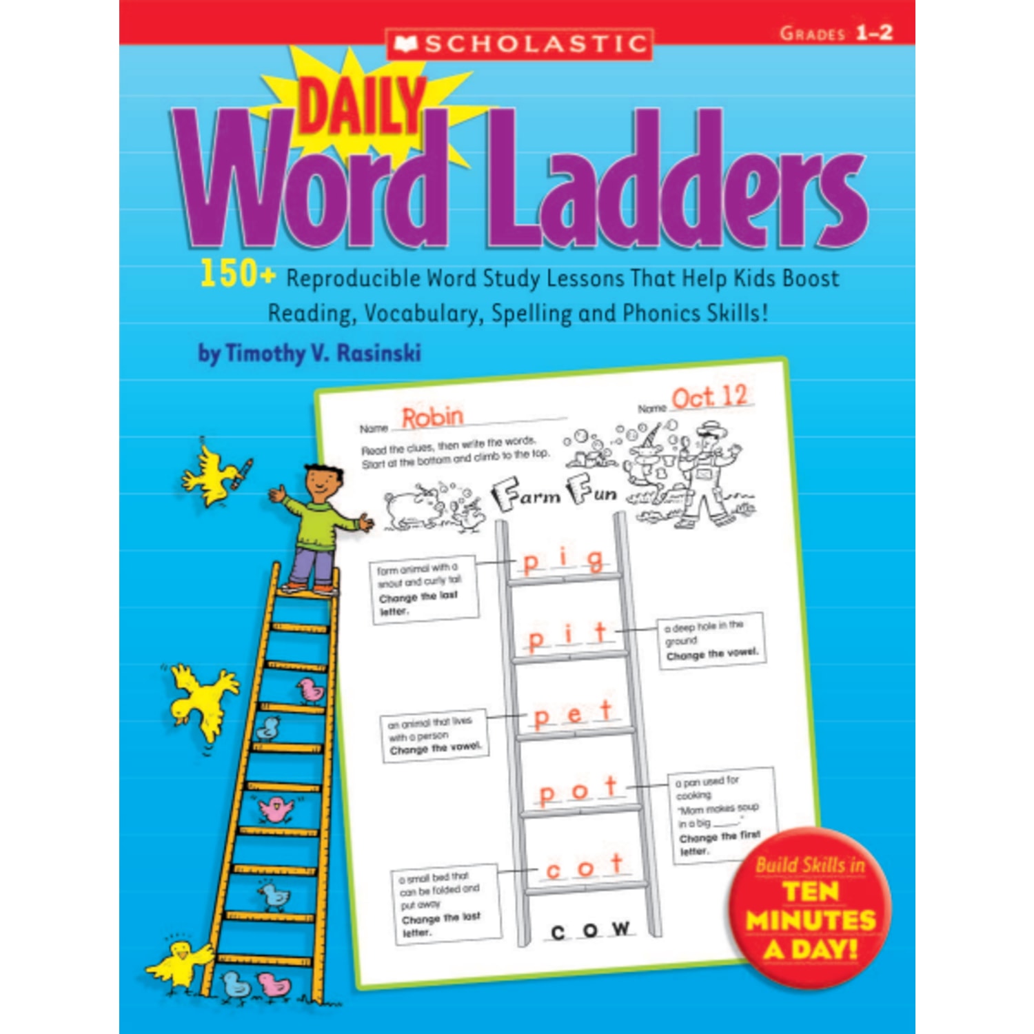
Scholastic Daily Word Ladders: Grades 1-2, 176 Pages (88 Sheets)
Classroom Teaching Resources

Classroom Teaching Resources
Classroom Teaching Resources
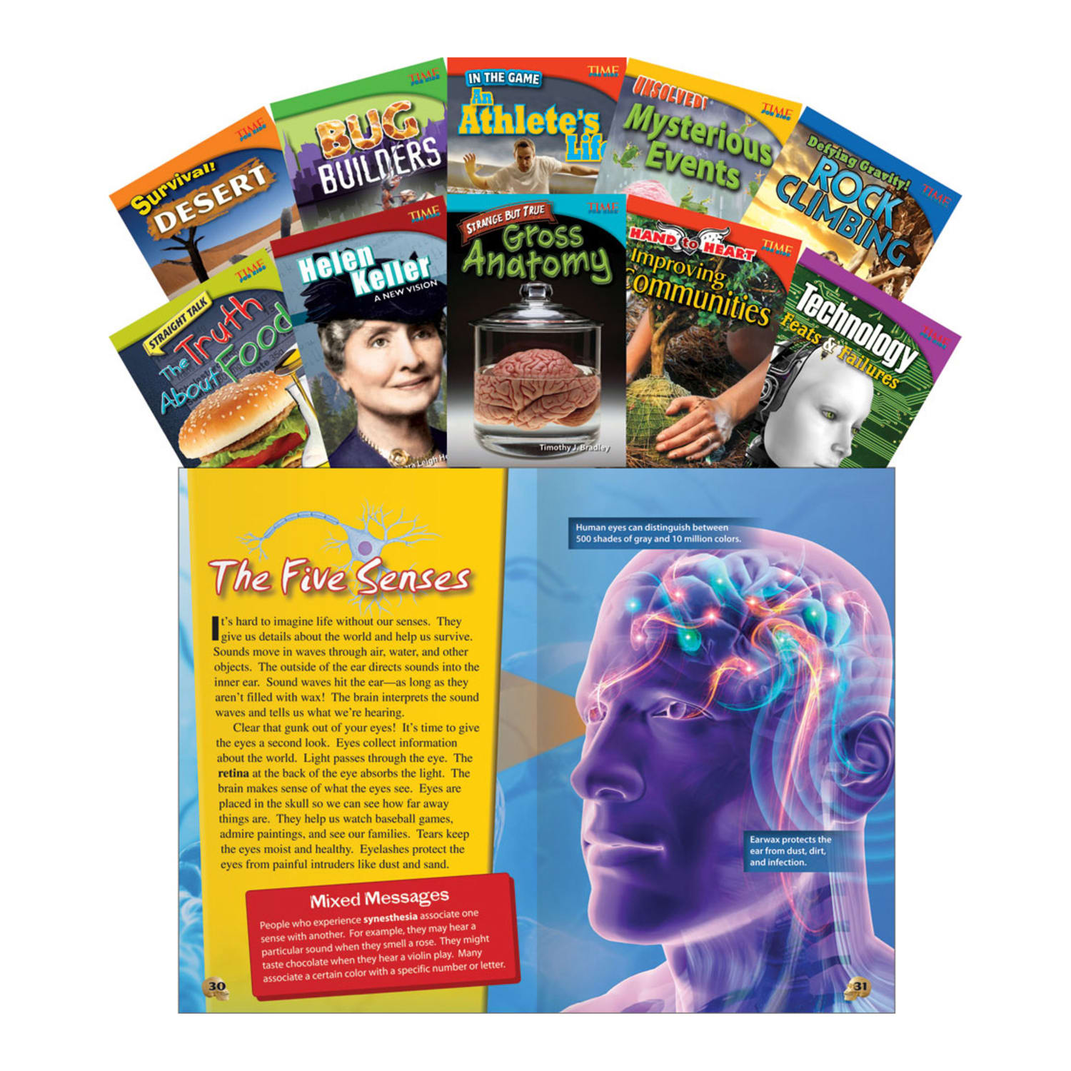
Teacher Created Materials TIME FOR KIDS Nonfiction Book Set, Set 1, Set Of 10 Books, Grade 4
Classroom Teaching Resources